


AI Pest Detection in Agriculture: How It Works and Why It Matters
/A pest problem does not usually appear across an entire field at once. It may begin in a few rows, around field edges, or in isolated patches and remain difficult to spot until the damage becomes more visible. For growers and crop protection teams, the challenge is not only finding the problem. It is finding it early enough, understanding its distribution, and deciding where a closer look is justified.
That is one reason crop monitoring is becoming more data-driven. Field scouting remains essential, but large farms and highly variable growing conditions make it difficult for a person to inspect every part of a field with the same level of detail.
Artificial intelligence can add another layer to that process. When high-resolution drone imagery is combined with computer vision, deep learning, and remote sensing, large volumes of visual data can be screened for patterns associated with crop stress and possible pest or disease activity. For a useful overview of the technology, see Crop Pest Detection AI.
The practical value is not simply that a model can recognize an image. The bigger opportunity is to connect detection with location and follow-up. In a precision-agriculture setting, knowing which part of a field deserves attention can be much more useful than receiving a general warning that something may be wrong.
Henrik Hjortshøj @unsplash
Why Conventional Pest Scouting Still Has Limits
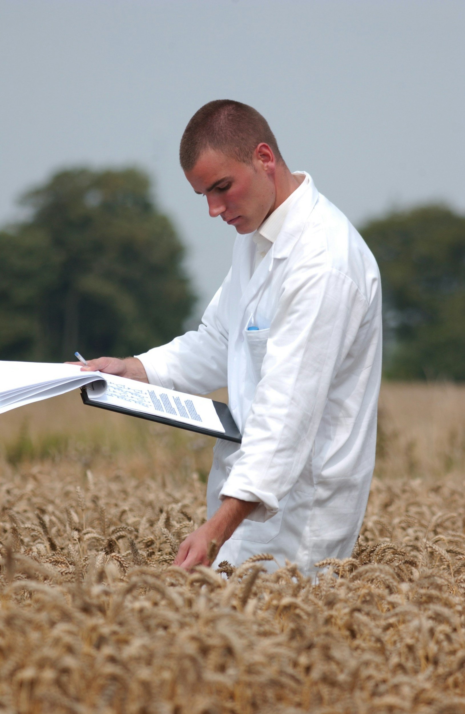
Field scouting is built around observation and experience. Agronomists and crop consultants walk selected areas, inspect plants, record symptoms, and compare what they see with crop history and current field conditions. That process provides context that an automated system cannot fully reproduce.
The limitation is coverage.
A scout can inspect only a fraction of a large field during a single visit. Pest pressure can also change over time, and visible symptoms may appear unevenly. One section may show clear stress while another part of the same field looks normal.
That does not make traditional scouting ineffective. It means there is value in giving field teams better information about where to spend their time.
Drone imagery can help with that first layer of prioritization. Instead of beginning with a largely manual search, a grower can work from a high-resolution view of the field and use image analysis to identify areas that differ from their surroundings.
The result is a more focused scouting process: imagery highlights areas of interest, while agricultural professionals determine what is actually happening on the ground.
How AI Pest Detection Works
AI-based pest monitoring is not a single technology. In practice, it is a workflow that can bring together several types of data and analysis.
High-resolution imagery
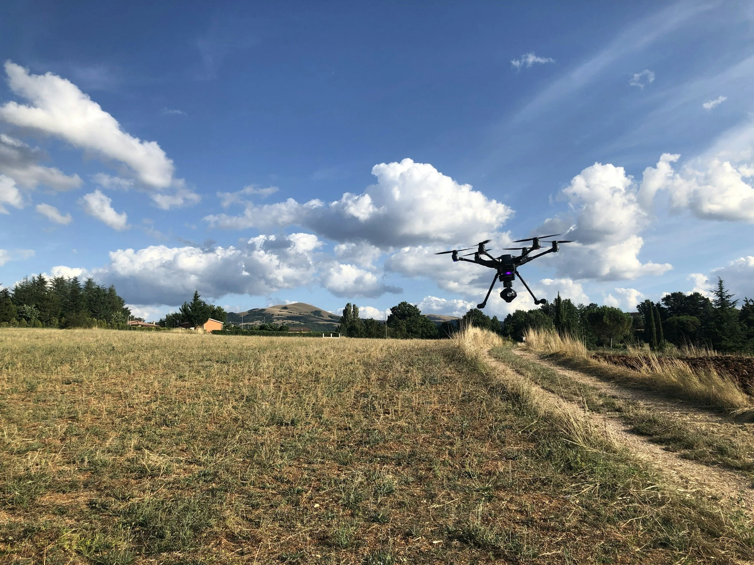
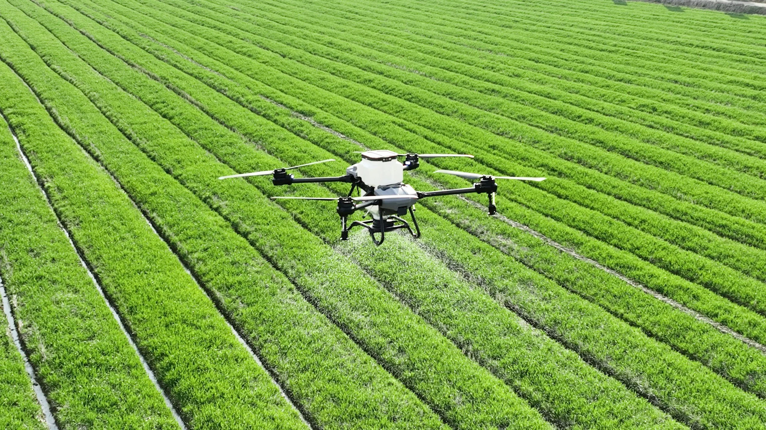
The process often starts with images collected by drones. Depending on the operation, those images may cover individual fields, blocks, greenhouse areas, or specific zones that need closer monitoring.
The advantage of aerial imagery is spatial coverage. A drone can capture information from areas that would take considerably more time to inspect on foot, while maintaining enough resolution for image-based analysis.
Computer vision
Computer vision is used to process the imagery and look for visual patterns. Depending on the model and training data, the system may identify differences in plant appearance, visible damage, pest presence, or other indicators that deserve inspection.
The quality of the output depends heavily on the images and the data used to train and validate the model. A model that performs well under one set of conditions may not behave the same way when crop varieties, lighting, seasons, camera systems, or field conditions change.
Deep learning
Deep-learning models can learn visual patterns from labeled agricultural datasets. In pest monitoring, that can include images of insects, damaged leaves, stressed plants, or other features associated with crop protection problems.
Deep learning is useful because agricultural imagery is rarely uniform. Leaves overlap, field backgrounds vary, and the visual appearance of symptoms can change with growth stage and environmental conditions. For that reason, model performance needs to be considered in relation to the conditions in which the system is deployed.
Remote sensing
Remote sensing adds another perspective to visible imagery. Multispectral, thermal, and other sensor data can reveal differences in crop condition that are not always obvious in standard photographs.
Importantly, a stress signal is not automatically proof of a pest infestation. Crop stress can have several causes, including water limitations, nutrient problems, disease, or environmental conditions. The role of AI is therefore often strongest when it helps identify patterns and locations that can then be investigated.
A simplified workflow looks like this:
Drone or sensor data → AI analysis → Areas of interest → Field validation → Management decision
That sequence is more realistic than treating detection as the final answer.
Detection Is Not the Same as Diagnosis
One of the easiest mistakes in agricultural AI is to treat every detected anomaly as a confirmed pest problem.
A camera-based model may detect an insect directly. An aerial model may instead identify a patch with unusual vegetation characteristics. Those are different signals and require different types of validation.
For example, an area with declining vegetation vigor may deserve attention, but the underlying cause still has to be established. A crop protection specialist may need to inspect the plants, check field history, review weather conditions, or look for other signs before choosing an intervention.
A recent review of UAV-based crop pest and disease monitoring describes a broader shift toward combining multiple sensing sources and linking monitoring with precision-management workflows. That direction is important because field decisions rarely depend on a single image or a single model output.
In practical terms, AI can narrow the search. Agronomic expertise confirms the diagnosis.
What Drone Imagery Adds
Collecting imagery is only the first step. A farm can produce thousands of aerial images during a monitoring program, but those files have limited operational value if a team still has to inspect them manually one by one.
AI helps turn a large image set into a shorter list of locations that deserve attention.
For a crop manager, that may mean identifying a few sections of a field for immediate scouting. For a consultant working across multiple farms, it can make large image collections easier to review. For a drone service provider, analysis can add value beyond the delivery of raw photographs.
Daniele Fiungo @unsplash
Sairone, developed by Saiwa, is positioned around this connection between aerial imagery and AI-based crop analysis. Its workflow uses computer vision, deep learning, remote sensing, and high-resolution drone imagery to monitor crop health, identify potential pest and disease stress, and localize areas that may require further attention.
The distinction matters. The useful output is not another folder of aerial photographs. It is a clearer picture of where conditions differ and which parts of the field should be investigated next.
Plant-Health Indices Add Context
Visible imagery is useful, but it is not the only way to examine crop condition.
Plant-health indices can help reveal spatial differences across a field, particularly when sensor data captures information outside the visible spectrum. When those measurements are combined with imagery and AI analysis, agricultural teams can compare zones and identify areas that behave differently from the surrounding crop.
This is especially relevant in fields with uneven conditions. Instead of reducing crop health to one average value for an entire field, the monitoring process can preserve the spatial variation that matters for field operations.
The key is interpretation. An index can show that an area is different; it does not, by itself, explain why.
Why Earlier Detection Can Improve the Workflow
Timing matters in pest management because a localized problem and a widespread infestation create very different management challenges.
Earlier identification can give growers more time to investigate a suspicious area, compare it with nearby zones, and determine whether intervention is warranted. Periodic aerial monitoring can also help teams track whether a signal is stable, expanding, or changing.
AI-generated alerts should still be treated as indicators rather than automatic treatment orders. External validation remains important, particularly when the cost of a wrong intervention is significant.
The practical benefit is therefore better prioritization. Instead of sending a scouting team across an entire field without a clear starting point, managers can use spatial information to decide where the next inspection is most likely to be useful.
From Detection to Precision Pest Management
Detection has limited value when it remains isolated from the rest of the farm workflow.
Once an area of concern has been identified and validated, the next question is what information can support the management decision. Depending on the crop and operation, that may involve field scouting, treatment recommendations, monitoring over time, or spatial outputs that can be used with precision equipment.
Prescription maps are one example. When a confirmed or high-priority zone is represented geographically, that information can be connected to equipment and field operations that support more targeted treatment.
The benefit is not that every field can suddenly be managed automatically. The benefit is that the decision can be based on more detailed spatial information.
Sairone fits into this part of the workflow by turning analysis into practical outputs such as localized alerts, crop-health information, treatment-related guidance, reports, and prescription maps. Those capabilities are useful because they help connect image interpretation with what the agricultural team needs to do next.
A Practical Layered Monitoring Approach
For many operations, the most useful setup is not one tool doing everything. It is a combination of monitoring methods, each used for the task it handles best.
Smart traps and fixed cameras can provide repeated evidence of pest presence in selected locations. Drone imagery can show spatial patterns across a wider area. Ground scouting can confirm what is happening on the plants. AI can bring those signals together and help organize them into a form that is easier to act on.
That layered approach also reduces the risk of overreacting to a single anomaly. A detected signal can trigger inspection rather than an immediate blanket treatment.
For farms managing large areas, that distinction can have practical consequences for labor, timing, and the precision of field operations.
A Short Note on What AI Can and Cannot Do
There is a tendency to describe agricultural AI as a replacement for conventional expertise. Pest monitoring is a good example of why that framing is too simple.
AI is well suited to repetitive image analysis. It can process large amounts of data consistently, highlight areas that differ from surrounding crop, and help teams work through imagery faster than manual inspection alone.
Agronomic interpretation is different.
Crop stage, weather, irrigation, nutrient status, field history, cultivar, local pest pressure, and previous management can all affect how a detected pattern should be understood. Even a strong model can produce a misleading result when the conditions are outside the data it was trained on.
This is why the human role remains central. AI can help answer "where should we look?" and "what stands out?" The crop protection professional still has to answer "what is causing it?" and "what should we do?"
As the source article puts it:
“The strongest AI pest systems do not replace agronomic judgment. They strengthen it.”
That principle is particularly relevant when AI is used in commercial farming, where operational decisions have consequences beyond the accuracy score of an individual computer-vision model.
What AI Changes for Farmers and Agribusinesses
The biggest change is often not automation for its own sake. It is the way agricultural information can be organized.
A traditional scouting note might say that one section of the field looks unusual. A spatial monitoring system can attach that observation to a specific location, compare it with other areas, and keep the information in a format that can be reviewed later.
For growers, that can make field inspections more focused. For agronomists, it can provide another source of evidence alongside their own observations. For drone operators and precision-agriculture companies, it can turn imagery into a more useful service instead of treating the image files as the end product.
The value increases when the same workflow can be repeated. Monitoring a field more than once makes it possible to compare conditions over time and distinguish a persistent issue from a temporary signal.
Where Sairone Fits
Sairone by Saiwa is designed to sit between data collection and agricultural decision-making.
The workflow begins with field imagery and sensor information. AI-based analysis then looks for relevant patterns, identifies areas that stand out, and adds crop-health context where available. The results can be organized into reports, localized alerts, and map-based outputs that agricultural professionals can use during subsequent assessment and planning.
That positioning is important because it does not require the platform to replace the agronomist. Instead, it adds an analytical layer to an existing monitoring process.
For professional growers and farm managers, the main advantage is having a clearer way to review field variation. For consultants and crop protection specialists, it can help prioritize inspections. For precision-agriculture providers, it creates a path from drone data to a service that supports field decisions.
DRONE EFT @unsplash
Why Crop Pest Detection AI Matters for Precision Agriculture
Precision agriculture depends on understanding variation within a field. Pest monitoring fits naturally into that model because pest pressure is rarely distributed evenly, and the useful response often depends on where the problem is concentrated.
Drone imagery provides broad spatial coverage. Computer vision and deep learning help interpret visual patterns. Remote sensing can add another layer of crop-condition information. Ground scouting provides the confirmation that models cannot reliably replace.
The important connection is between those pieces.
An AI system is most useful when a signal leads to a location, the location leads to validation, and the validated result contributes to a management decision.
That is why the future of AI pest monitoring is less about replacing field expertise and more about improving the flow of information around it. For growers and agribusinesses, better information can mean faster investigation, more focused scouting, and a clearer basis for precision-management decisions.
AI pest detection is therefore best understood as part of a broader crop-protection workflow. Used carefully, it can help transform aerial imagery and sensor data into information that is easier to interpret and act on—while keeping the final agricultural decision in the hands of the people responsible for the crop.
About the Author:
Amirhossein Komeili is an AI Developer specializing in Computer Vision and deep learning. At Saiwa, he works on developing and optimizing intelligent systems that apply advanced image analysis to address real-world challenges, particularly in agriculture.